Hello there is a way to create a gps navigator like Waze or google maps?
--
There are many ways to use App Inventor along with the Google Map API. The techniques can be adapted to mage your gps Navigator.. Here are some basic tutorials
| Android, Where's My Car? for App Inventor 2
You parked somewhere near the stadium, but when the concert ends you don't have a clue where the car is. Fortunately you haven't lost your Android phone that never forgets anything, and you remember you have the hot new app, Android, Where's My Car?. With this app, you click a button when you park your car, and the Android uses its location sensor to record the car's GPS coordinates and address. Later, when you reopen the app, it shows you a map from where you are to the remembered location-- problem solved! With this tutorial you'll be able to download a created app and then study the annotated blocks below to better understand the app and App Inventor programming in general. This app covers: GPS, TinyDB, and using Activity Starter to open a map.
|
Map It: Displaying Locations on a Google Map
This tutorial shows how you can develop an app that allows you to record list of addresses and view the address on the Google Maps. It will also show you how view your current location on the Google Map.
|
Exploring with Location Sensor in AI2
The location sensor object is used to communicate with the global positioning satellite receiver (GPS) in your phone/tablet. When the LocationSensor communicates with the built-in GPS receiver, the GPS can determine the location of your device. The sensor can also work with network/wifi location services. Finding a location using the network uses very different techniques to determine a location. Location means, the device's present latitude and longitude or it can mean your street address.
Have you tried any of these tutorials Nando?

or very simply you could use ActivityStarter to navigate as shown above if you turn your GPS on and allow LocationServices.
--
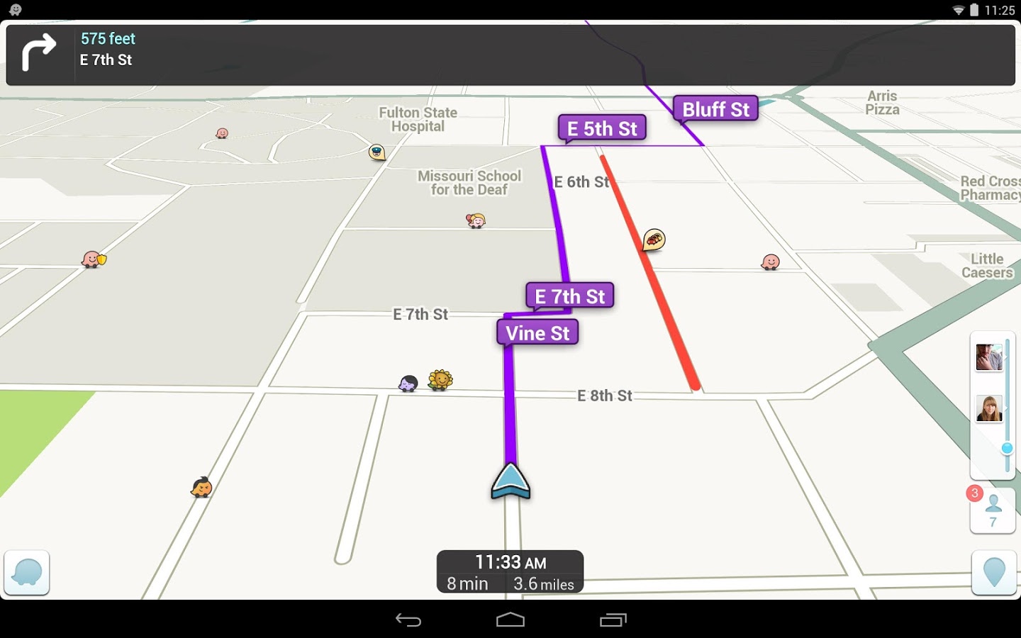
HELLO STEVE THANK YOU VERY MUCH FOR YOUR SO QUICK RESPONSE, WHAT YOU INDICATED ME HAS ALREADY DONE IN MY PROJECT HE MARK DOTS ON MAP AND USA ActivityStarter TO CALL A NATIVE GOOGLE BROWSER, WHAT I LOOK FOR IS A WAY TO CREATE MY PROPERTY BROWSER, LIKE THE WAZE FOR EXAMPLE.
--
Sorry. I do not understand exactly what you want to do. Your image posted is from WAZE. What do you mean 'property browser?'
--
If you want to show many different locations, use a Google Map API Static Map with multiple pins https://developers.google.com/maps/documentation/static-maps/intro#quick_example . These examples can be replicated with AI2.
If you want a traffic layer use JavaScript to display https://developers.google.com/maps/documentation/javascript/examples/layer-traffic
Here are other links:
- Google Maps Javascript API
- Google Maps Geocoding API
- Google Maps Directions API
- Google Places API Web Service
Google has a Business Map API...perhaps that is what you are interested in?
Provide a better description of exactly what you want to do Nando and someone will provide more advice. It appears you may already have created a StaticMap with pins using google. You can do something similar using OSM.
Perhaps find the articles
How to start OsmAnd and open the map with a place marker and How to launch Waze to look for a specified location described on Taifun's snippets http://puravidaapps.com/snippets.php
댓글 없음:
댓글 쓰기